
Does AI fit into the traffic data collection picture?
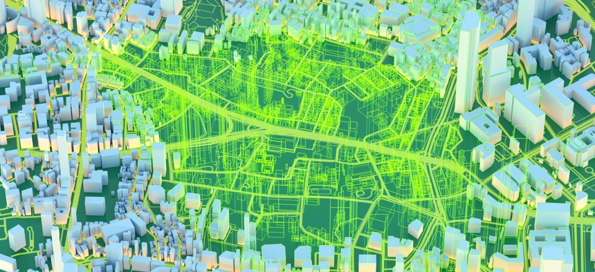
Floriana via Getty Images




COMMENTARY | The need for robust, accurate data remains important for the steps needed to make our roadways safer, faster, more predictable and accessible to everyone.
Jurisdictions around the country are facing increased pressure from both their citizens and various interest groups to make their roadways safer, faster, more predictable and accessible to all modes of transportation.
While not an easy task, elected officials traditionally have turned to their planning departments and transportation consultants to collect accurate traffic data which, in turn, impacts everything from lane capacity and junction layout to work zone planning and bottleneck mitigation. Use of accurate traffic data also helps to prevent expensive overbuilding or premature roadway failure by matching design choices directly to actual demand.
Collecting accurate data, however, is where things can become tricky for local jurisdictions. While traditional modes of data collection — including manual counter boards, pneumatic tubes and short-term, manual traffic counts at specific locations — have provided trusted data collection for years and may still be viable in many locations and instances, they also have limitations which planners need to take into account. These include:
Accuracy: Manual survey methodologies require the presence of trained personnel, all of whom are subject to stress, fatigue and biological needs.
These factors, in turn, tend to affect the accuracy of the data collected, which typically runs between 70% and 95% depending on the length of the survey, time of desired results delivery, staff fatigue, etc. As a result, the error rate is subject to constant change and is likely accelerating over an extended period of time.
Cost: Manual data collection methods tend to require a number of staff in order to be effective, all of which can increase the overall project cost. A one-way communication profile, for example, typically requires at least one staffer for each lane of traffic. If the traffic volume is particularly heavy, the number of staff should be higher to account for all vehicles.
Unfortunately, the cost to purchase and deploy technology solutions which are capable of generating real-time data, may be prohibitively high for many jurisdictions, particularly those in smaller markets which would likely only use such advanced technologies on an occasional basis.
Purpose: Most traditional methods of data collection require planners to determine in advance what data should be collected and how it will be used. For example, manual counters would be ineffective if the goal of the project is to capture complicated traffic patterns, pedestrian or bike traffic, or advanced data such as travel time. From that standpoint, technology solutions tend to offer greater flexibility in dealing with a wide range of traffic scenarios.
Unfortunately, these and other limitations encountered when relying solely on traditional methodologies potentially can lead jurisdictions to collect and analyze traffic data on an infrequent basis or based solely on small sample sizes. That, in turn, could result in those jurisdictions making traffic-related decisions which could have implications for 30 years or more based on incomplete or outdated data.
Recognizing these limitations, many jurisdictions are turning to artificial intelligence, connected vehicle GPS data, smartphone analytics, and other technological advances to supplement or, in some cases, completely replace traditional data collection methods.
This has led to cameras and advanced radar and LiDAR sensors supplanting manual vehicle counts; anonymous location data from cell phones and in-vehicle navigation systems being used to track vehicle origins and destinations, as well as speed and travel patterns; and vehicles communicating directly with traffic management systems to provide granular data on traffic speed and behavior.
The emergence of AI-driven technology provides traffic planners with yet another tool to monitor entire road networks in real-time, 24/7. AI also enables planners to scan high volumes of data to spot patterns, identify existing and potential issues, and generate insights that will drive accurate decision-making on infrastructure adjustments and improvements, congestion management, and enhanced safety.
Real-time traffic data also allows traffic experts to make improvements that will optimize traffic flow and/or maximize road safety. Adoptive signal timing, for example, can adjust traffic signals to accommodate current road conditions and traffic volume, while simultaneously reducing wait times, fuel usage, and emissions. Vehicle-to-Everything systems use low-latency radio signals or cellular networks to enable vehicles to provide navigation data and information on delays, crashes, hazardous conditions, and more with other vehicles and municipal infrastructure.
While these and other technology solutions offer rapid access to data and advanced analytics to discern valuable trends and insights from that data, many jurisdictions are finding a combination of traditional data collection methods and cutting-edge technology provides the best overall results.
One project provides a good case in point. With 200,000 daily trips, the area from Prince William County to the Springfield mixing bowl on I-95 in Virginia represents one of the busiest sections of highway anywhere on the East Coast. As a result, High Occupancy Toll Lanes seemed to be in order. Due to the extreme amount of traffic, ramps, interchanges and on-and-off areas, however, the tracking analysis was particularly challenging.
A decision was made to deploy hundreds of pieces of equipment, including traditional tube machines, Miovision automated license plate reader cameras, Bluetooth tracking devices, and more. This combination of traditional methods and technology proved successful in collecting the investment grade data required to move the HOT Lane project forward.
Regardless of the means used, the need for robust, accurate data remains foremost to understanding — and then implementing — the steps needed to make our roadways safer, faster, more predictable and accessible to everyone.
Anthony Guckert’s journey with The Traffic Group began 30 years ago, gathering traffic data one count at a time. Fast forward to today, and he’s at the helm as President, steering the company’s vision while leading its Traffic Data Collection Services Division. For more information, visit www.trafficgroup.com or follow The Traffic Group on LinkedIn.