As food insecurity creeps up, data helps food banks cater to those in need
monkeybusinessimages via Getty Images


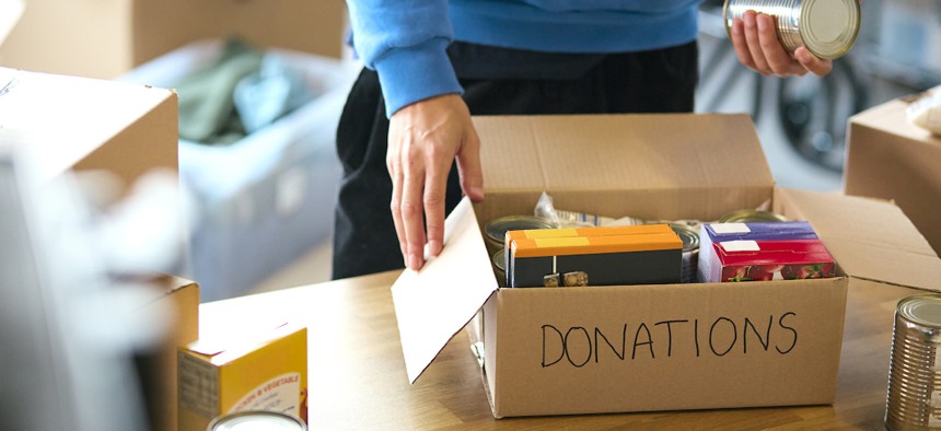
Americans are concerned about food access and costs. Data maps are one tool communities can leverage to meet their needs.
As part of the federal government’s recent funding cutbacks, the U.S. Department of Agriculture ended a program that helped food banks provide communities with food from local farms and farmers.
In March, the agency canceled $420 million in funds for the pandemic-era Local Food Purchase Assistance Cooperative Agreement Program, which allows states to purchase and distribute domestically produced food and beverages to organizations like food banks. Organizations across the nation have already reported that their food orders have been canceled.
In Phoenix, Arizona, the St. Mary’s Food Bank is one such organization that is bracing for the impact of reduced funding for their operations. The nonprofit relies on private and public food and financial donations for support, including from USDA and the state’s Department of Education, said Marcos Gaucin, its chief programs officer.
The food bank can distribute nearly 130 million pounds a year, which equates to about 105 million meals to visitors, Gaucin said. The organization offers food services to 10 of 15 rural and urban counties across the state.
“We have seen reductions in the number of loads we’re getting to the tune of about 1.2 million pounds of food,” Gaucin said. While the total seems small compared to the food bank’s total operations, it is a significant blow to the food bank’s mission of increasing residents’ access to nutritious meals, particularly as “we’re seeing [hearty foods] that are being canceled like proteins,” he added.
The program’s end comes amid Americans’ increasing concerns over grocery prices, with 62% of U.S. adults saying the cost of food is extremely or very important to them when deciding what to buy. The rate of food insecurity in recent years has also increased, with federal data showing that 13.5% of households were food insecure in 2023 — up from 12.8% the previous year.
The leaders of St. Mary’s Food Bank are turning to data to help fill service gaps and identify more vulnerable areas to concentrate resources and services to those in most need.
In Arizona, Guacin said food insecurity has increased across the state to impact an estimated one million people — including one in 5 children — in recent years, particularly in rural areas that lack an adequate number of food suppliers in their communities.
Using the ArcGIS Online platform from geographic information system company Esri, St. Mary’s Food Bank is collaborating with researchers at Arizona State University to develop data maps aimed at showing where food deserts, grocery stores and food bank distribution centers are located throughout the state. They also track demographic information like household compositions, race, income and job status, and other factors.
The data, from sources like USDA and the state’s Department of Health Services, helps food bank operators better understand “the intersection of issues that people are facing” when it comes to food insecurity, Gaucin said. The maps reveal where the most vulnerable families are, where food insecurity is the most severe and what kinds of barriers exist that limit their access to food.
Data showed, for instance, that residents of northeast Arizona had less access to a vehicle and experienced higher rates of food insecurity, said Alexi Vogel, a community engagement spatial data analyst at ASU. That area also had fewer public transportation options for residents.
Those findings suggest that people who lacked reliable transportation had a harder time driving or traveling to food suppliers like grocery stores or fast food restaurants, she added.
St. Mary’s Food Bank, for instance, has created a mobile food distribution team that can travel to more remote areas of the state to provide residents with “pop-up farmers markets,” Gaucin said. Through that model, a semitruck will deliver food supplies to a community, and because it’s mobile, it can reach several destinations in one day.
The organization has also implemented a home-delivery service to further make it easier for residents to obtain critical food supplies, Gaucin added.
The maps are updated as data becomes available, which are usually a year behind, said Aaron Flores, assistant professor of geographical sciences and urban planning at ASU. But external and internal validation measures help ensure that St. Mary’s Food Bank can leverage the maps to inform future operation and logistics decisions.
In communities already strapped for resources, cuts to the federal program “are going to put more pressure on people, and that’s going to drive more people to our doors,” Gaucin said. “I don’t have a crystal ball, but if food insecurity was already going up before this, I can’t see that it’s going to go down.”
But these maps help inform “our work as to what services we can tailor [and] what distribution models we can use in order to get food where people can access it,” he added.